Deschutes Basin
Interactive Watershed
Scroll to explore the map and learn more about restoration projects in the Deschutes River Basin. Use your mouse to hover over the map for a closer look.
Lower Deschutes River
Location
Lake Billy Chinook to the Columbia River
Primary Habitat
Native rainbow trout, salmon, steelhead, lamprey
Challenge
Rising temperatures and toxic algae blooms degrade habitat
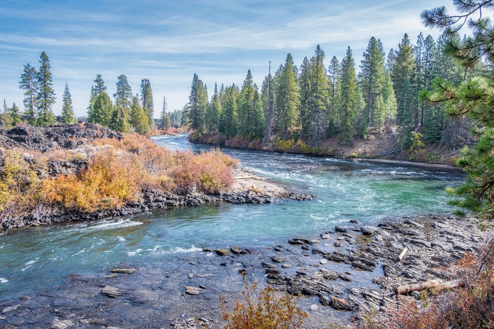
Trout Creek
Trout Creek is a 51-mile long tributary of the Deschutes River. It drains approximately 692 square miles of Crook, Jefferson, and Wasco counties. Arising in the Ochoco Mountains, it flows north and then west to its confluence with the Deschutes River.
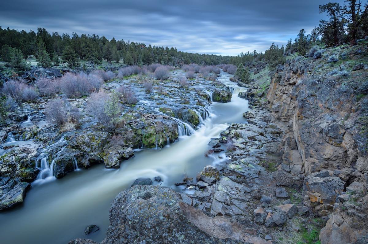
Willow Creek
Willow Creek is a tributary, about 26 miles long, of the Deschutes River in central Oregon in the United States. Arising near Foley Butte in the western Ochoco Mountains in Crook County, it flows generally northwest into Jefferson County and through the Crooked River National Grassland.
Metolius River
Location
Tributary of the Deschutes River with the confluence at Lake Billy Chinook
Primary Habitat
Sockeye salmon and bull trout, mountain whitefish
Challenge
Retains a relatively intact and healthy eco-system.
Whychus Creek
Location
Tributary to the Deschutes River with the confluence on the Middle Deschutes
Primary Habitat
Chinook salmon, steelhead and redband trout, and bull trout
Challenge
Low flows in the summer create habitat and water quality issues for fish and wildlife.
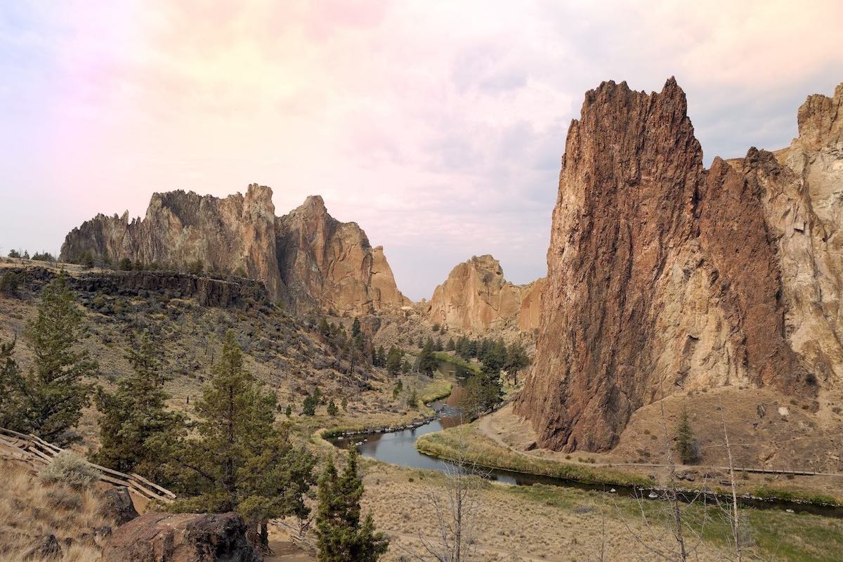
Crooked River
Location
Flows through Prineville and is a tributary at of the Deschutes River with the confluence at Lake Billy Chinook.
Primary Habitat
Bull trout, steelhead trout, Chinook salmon and redband trout, brown trout, mountain whitefish
Challenge
Low flows in the summer create habitat and water quality issues for fish and wildlife.
McKay Creek
Location
Tributary of the Crooked River
Primary Habitat
Steelhead spawning and rearing grounds
Challenge
Altered hydrograph as well as water and habitat quality affect fish and wildlife.
Ochoco Creek
Location
Tributary of the Crooked River
Primary Habitat
Steelhead trout, Chinook salmon and redband trout
Challenge
Low flows in the summer create habitat and water quality issues for fish and wildlife.
Mill Creek
Location
Tributary to the Deschutes River with the confluence on the Middle Deschutes
Primary Habitat
Redband trout
Challenge
Low flows in the summer create habitat and water quality issues for fish and wildlife.
Middle Deschutes River
Location
Bend to Lake Billy Chinook
Primary Habitat
Rainbow trout, mountain whitefish, with steelhead and Chinook salmon below natural fish passage barriers
Challenge
Low flows in the summer create habitat and water quality issues for fish and wildlife.
Tumalo Creek
Location
Tributary to the Deschutes River with the confluence on the Middle Deschutes
Primary Habitat
Redband trout
Challenge
Low flows in the summer create habitat and water quality issues for fish and wildlife.
Upper Deschutes River
Location
Wickiup Reservoir
Primary Habitat
Oregon Spotted Frog, brown trout, rainbow trout, brook trout, mountain whitefish
Challenge
High flows in the summer and low flows in the winter damage habitat and river structure.

Fall River
The Fall River is a tributary of the Deschutes River in the Deschutes National Forest in Deschutes County, Oregon, United States. The source is a spring approximately 2 miles northwest of Pringle Falls.