
Bend Bulletin: Storms give Upper Deschutes a 20% boost in snowpack
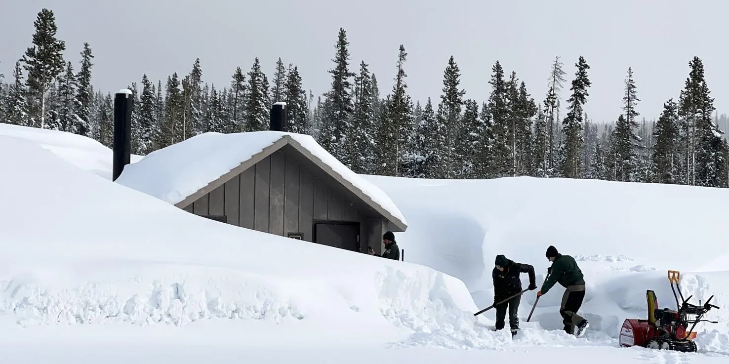
The snow started falling east of the Cascades on Thursday and continued on and off throughout the weekend. When the skies finally cleared on Monday the mountains west of Bend had received snowfall measuring in feet.
Some snow measuring sites in the Central Cascades over the five day period saw levels rise more than 5 feet, including Bear Grass near Mount Washington and Holland Meadows south of Oakridge.
Total snowpack across the Upper Deschutes and Crooked River Basin rose to 139% of normal by Monday, up from 119% on Friday, according to data compiled by Natural Resources Conservation Service. Precipitation for the water year is now 120% of normal.
“It was a pretty significant storm and has provided a significant boost in snowpack levels that we haven’t seen since Christmas time,” said Matt Warbritton, a supervisory hydrologist with the service.
Central Oregon snowpack has been above average throughout this winter but the mid-March boost gives a late season shot in the arm to ski areas, farms, ranches and others who carefully monitor snow and precipitation levels.
“Peak timing for snowpack is April 2 and right now the basin is exceeding that normal peak,” said Warbritton. “That bodes well for water supply in late spring and early summer and certainly is a big boost for snowpack this time of year.”
The storms helped keep lift lines busy at ski areas in Central Oregon over the weekend.
Mt. Bachelor reports 388 total inches this season and a current base of 155 inches. On Sunday the snow piled up to the 25-inch level at the ski area’s snow stake. Hoodoo ski area’s base rose to 130 inches by the end of the weekend.
On the snow, a website that tracks snow levels at ski resorts worldwide, puts Mt. Bachelor in the No. 3 spot (after Mt. Baker and Mt. Hood Meadows) for highest snowpack in North America.
The winter storm closed several roads around the state on Sunday, including a 33-mile section of state Highway 58 on Sunday between Oakridge and Crescent Lake. By Monday morning Oregon Department of Transportation crews had reopened most roads but advised that travelers monitor tripcheck.com for road conditions.
Snowpack totals have likewise also soared in Southern Oregon basins. In the Klamath Basin, snowpack is 167% of normal while in Lake County, Goose Lake basin it is 188% of normal. This year’s snowpack, combined with above average snowfall over the past two winters, has eliminated drought in Oregon. Just 4% of the state fell into the “abnormally dry” category.
“It was a great December and a terrible January and then an average February/early March but this storm over the last couple days really helped out our outlook,” said Jeremy Giffen, the Deschutes Basin watermaster.
The snowpack and runoff is helping to boost water levels in Central Oregon reservoirs, including Prineville Reservoir (64% full) and Ochoco Reservoir (68% full). The largely spring-fed Wickiup Reservoir is now 84% full and headed for its highest level since 2018.
“If we could continue with cool temperatures and ongoing winter storms to finish off the storage season, I am anticipating a great irrigation season,” Giffen said.
