
Reaches
Crooked River
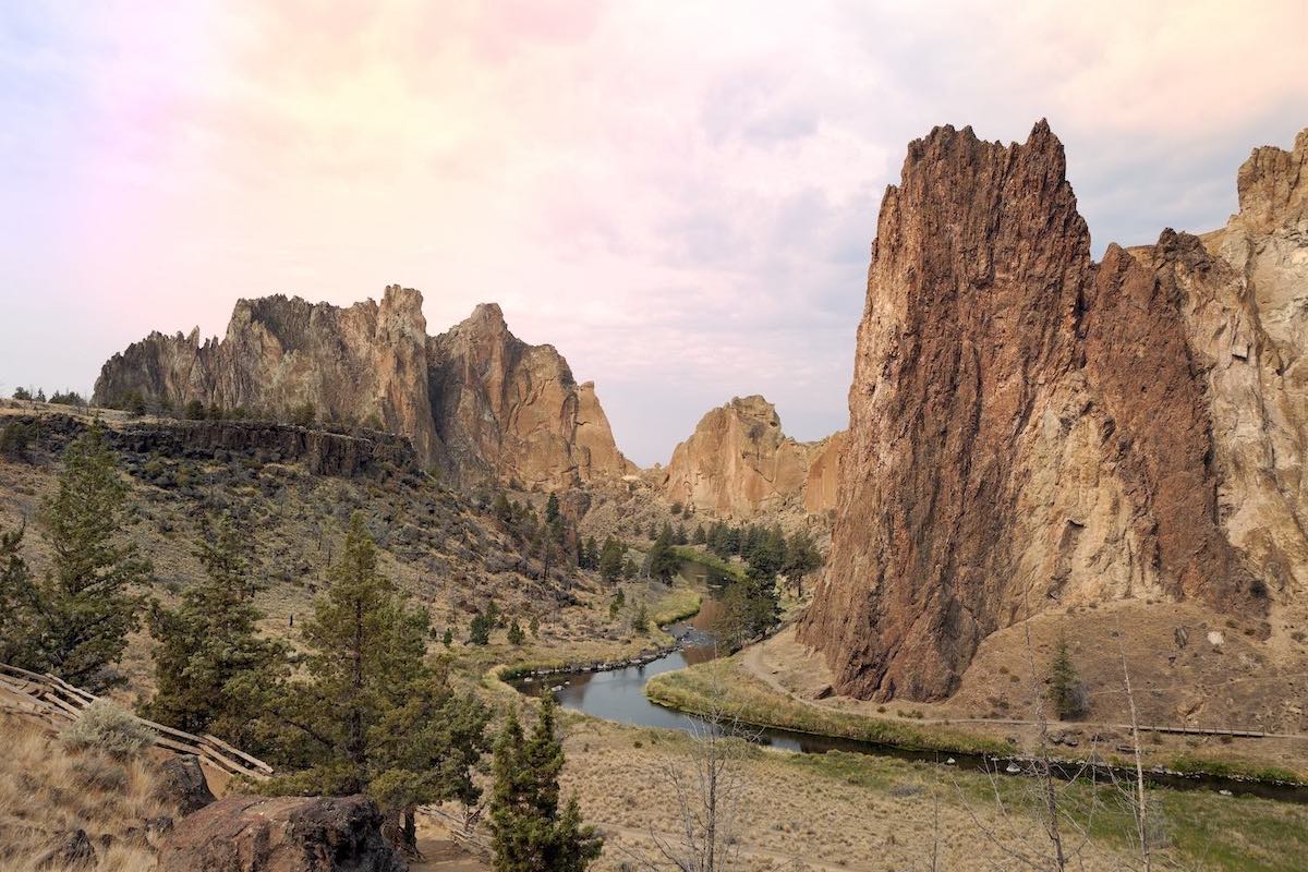
The Beautiful Crooked River and its Tributaries Flow Through the Southwestern Portion of the Deschutes Basin
Our work focuses on the 73 miles of the Lower Crooked River below Bowman Dam and its two tributaries, McKay Creek and Ochoco Creek.
Salmon and steelhead have recently been reintroduced into these reaches. Our two major projects are the McKay Creek Water Rights Switch, which aims to restore natural streamflows to McKay Creek, and the North Unit Initiative, which restores streamflow in the low flow section below river mile 28 that runs through Smith Rock State Park.
Projects:
McKay Creek Water Rights Switch with OID
+11.2 cfs restored
Restored natural hydrograph
Monitoring surface, groundwater, macro-invertebrates, and riparian vegetation.
North Unit Minimum Flow Agreement
Crooked River Water Quality Partnership
Initiative focused on decreasing human caused nitrogen in the Lower Crooked River
Annual water leasing

Bull trout
Chinook salmon
Mountain whitefish
Redband trout
Steelhead trout
Up to 11 CFS (in progress in summer)
Up to 51-61 CFS (summer)
Low Flows in the Summer
and Shoulder Seasons (Apr. & Oct.)
Water Quality (temperature)
Fish and Wildlife Habitat
Piping
Instream Leasing
Instream Transfers
*Flows were not met in 2022 because of extreme drought.